Anticyclone: 100 mm of Rain in Midlands and Gusts of 90 km/h at Morne
Title: Anticyclone: 100 mm of Rain in Midlands and Gusts of 90 km/h at Morne
Date: Mar 19, 2025 - 17:37
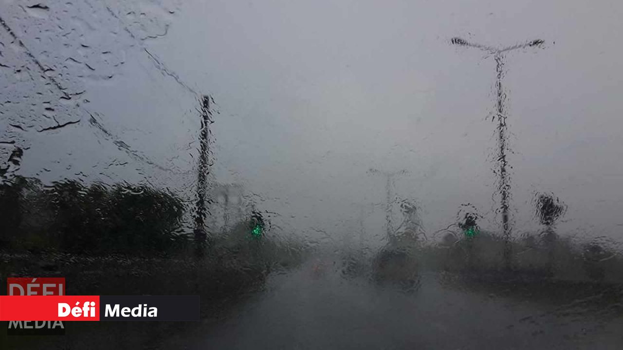
You may have wondered what has caused the gloomy weather since Monday evening. According to the Vacoas weather station, a powerful anticyclone located south of the Mascarenes is generating windy and cold conditions across the region.
This phenomenon is accompanied by clouds associated with an eastward wave, which are responsible for the heavy showers observed since last night. In the past twenty-four hours, nearly 100 mm of rain were recorded in Midlands, 81.2 mm in Grand-Bassin, and 66.5 mm in Mare-aux-Vacoas.
The winds have not been left out either: gusts reaching 90 km/h were recorded at Morne and 72 km/h at Champ de Mars, as reported this Tuesday afternoon by forecaster Yashvir Ramlukon on RadioPlus.
Forecast
The sky will remain cloudy to overcast from Tuesday night to Wednesday morning, with occasional moderate rain. Temporary water accumulation is possible in certain areas. Caution is advised on the roads, especially due to expected pockets of fog in higher regions.
Minimum temperatures will range from 14 to 16 °C in the central plateau and from 18 to 20 °C along coastal areas. Maximum temperatures will reach 19 to 21 °C in the heights and 23 to 25 °C on the coast.
Winds will blow from the southeast at 30–40 km/h, with gusts possibly reaching 80 km/h in some places.
The sea remains very rough beyond the reefs, with swells from the south of about 4 meters. A warning for strong swells is in effect until 10 am on Wednesday. These waves also affect the lagoons and may break on low-lying coastal areas in the west and south, particularly at high tide.
Authorities strongly advise fishermen, boaters, and the public against venturing out to sea or approaching exposed beaches.